
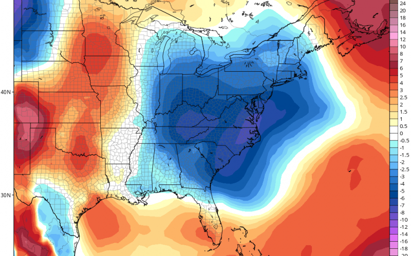
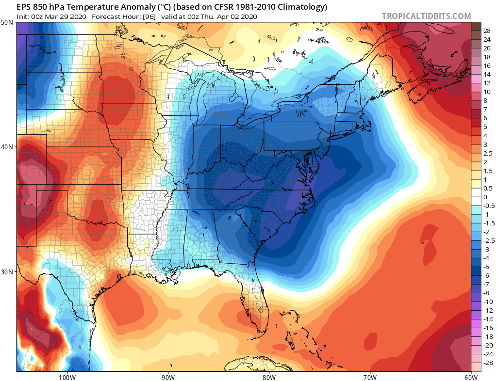
After a major storm system caused severe storms including tornadoes in the Midwest and lower Plains, cooler air is heading our way this week. A strong cold front will cool us down temporarily on Wednesday and Thursday, but then temperatures will quickly rebound into the weekend and the following week.
The Euro ensemble mean is showing a cold couple of mornings on Wednesday and Thursday, with some locations dipping into the upper 30s, which could mean patchy frost.
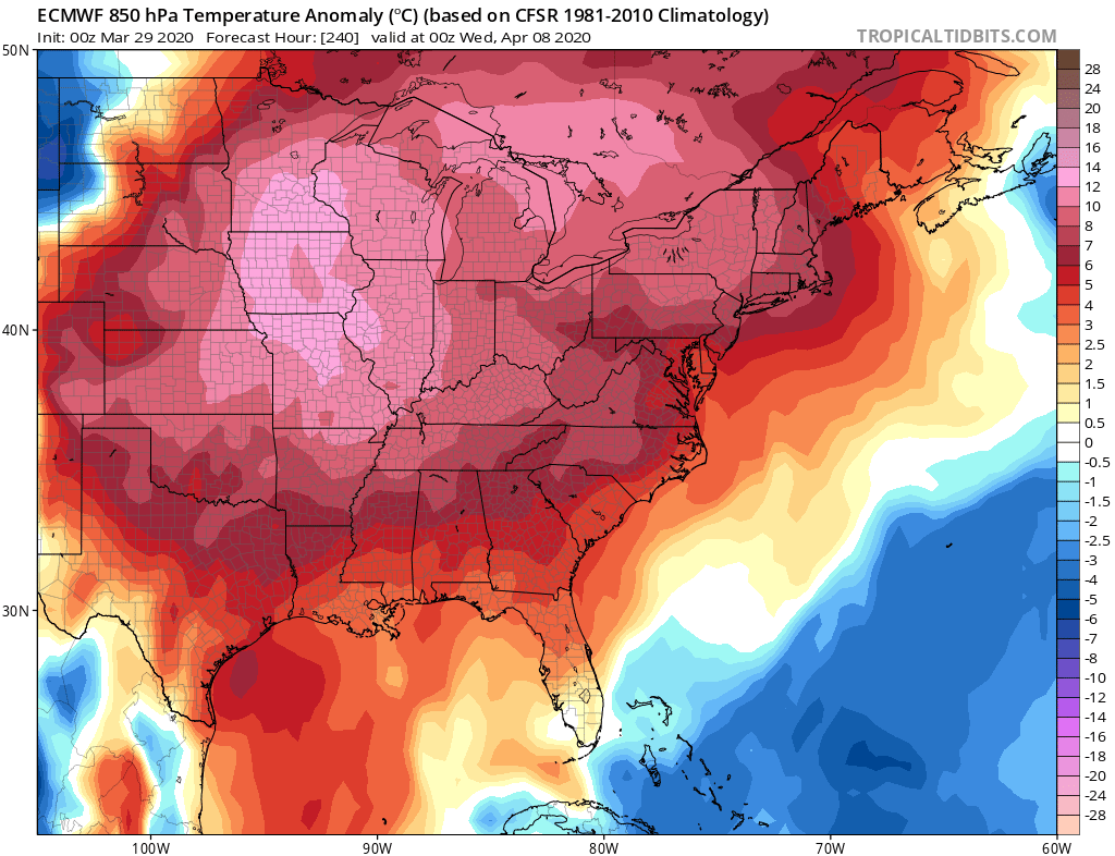
However, after the 5th or 6th or so, the heat comes roaring back for much of the country. This could mean that indoor fireplaces could be done for the season, as the a/c may be required to cool off your place if the fireplace makes it too hot. Kind of counter-productive.
A fairly significant ridge of high pressure takes over around the 6th or 7th, which will heat up the eastern half of the country. Some record highs may even be set across the Midwest.
Is this good for weakening the spread of COVID-19? It could be. At least we hope so.
-CWA
You must be logged in to post a comment.