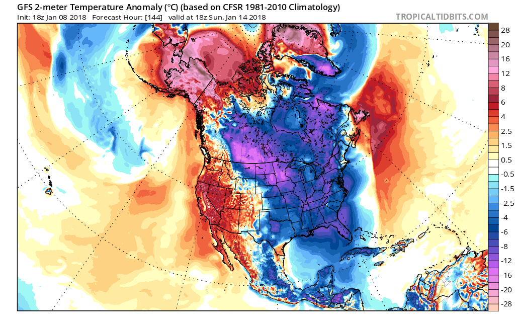
Temperatures will be on the slow climb as this week progresses. The only issue is the ice up North, but that should melt as the atmosphere continues to warm up. As warmer air moves in, much colder air will build in behind. On Thursday into Friday, a winter storm and associated cold front will push across the Midwest and into the Ohio Valley. Snow, sleet, and freezing rain are on the table for many as another shot of cold air moves in.
Hence another big trough of Arctic air will invade the Midwest and eastern US once again. There could also be some kind of winter storm after the cold air sets in place. Exactly details are certainly not clear at this time. But the chances go up once this pattern takes shape.
After the 25th of this month, we could be visited by a piece of the Polar Vortex once again. Until then, it will be difficult to get any kind of extended cold outbreaks. A slight stratospheric warming event will take place over the next week or so, and then typically cold air follows 8-12 days after. This is when we can expect our next well-below average outbreak.
Sign up for our private services today, as members are updated with more details and more often. CLICK HERE TO SIGN UP
-Mike G
Meteorologist


You must be logged in to post a comment.