
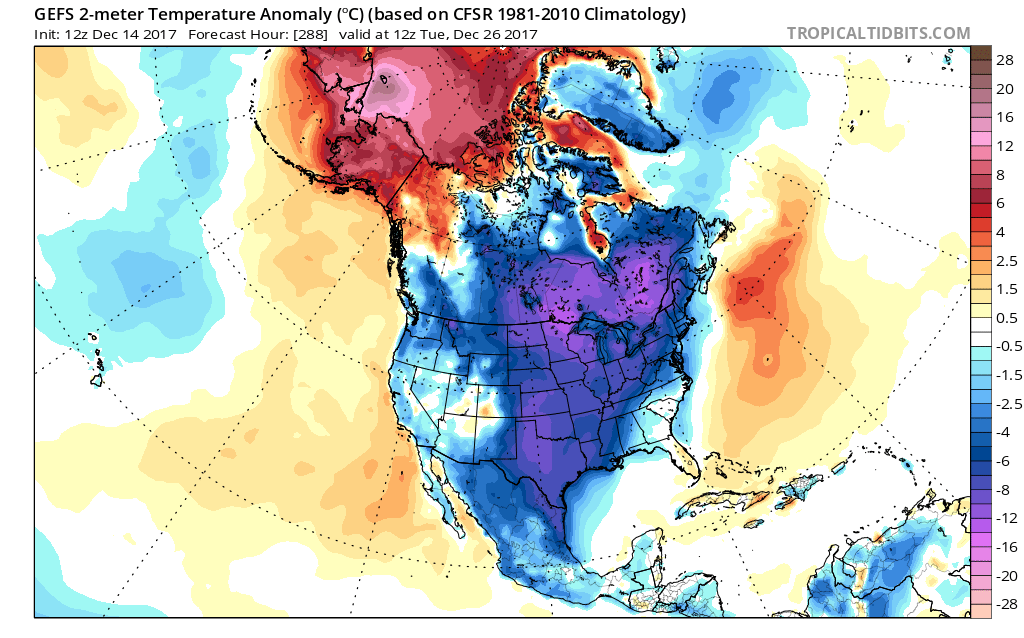
As many are confused as to what to expect for Christmas, weather-wise, there is some better agreement in the models after Christmas. Of course this could include Christmas since some kind of winter storm is usually likely before any kind of large-scale cold invasions. Nonetheless, the ridge of high pressure and warmer air pushes into Alaska. In turn, this “nudges” cold Arctic air south. This would mean a favorable pattern for southern winter storms and coastal lows for the northeast. Either is possible with this upcoming scenario.
First shown is the GEFS ensembles and then the GEPS ensembles (Canadian) for the 26th. It is certainly POSSIBLE there could be some kind of ice event from the Plains to Michigan. Even if that does not happen, cold air is the most likely.
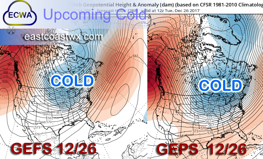
The GEFS for this same date and time is brutal with much of the country in the deep freeze. The trough of cold air over much of the country might be farther to the east, so people should not focus on an exact location of the coldest air. The bottom line is the ridge over Alaska, as that is a signal for eastern US cold and wintry precip.
If you have not already please follow us on facebook using the button below and also share! >>>
-Mike G.
You must be logged in to post a comment.