
The next 6-10 days will possibly have to be monitored for any homegrown tropical threats, as a blocking ridge of high pressure takes shape over the Atlantic Ocean. When the Northeast US is warmer than average and a ridge is over the Atlantic north of Bermuda, this opens the door for any tropical formation along the East Coast. The Southeast US should watch to see if there is any disturbance that could temporarily disrupt beach plans.
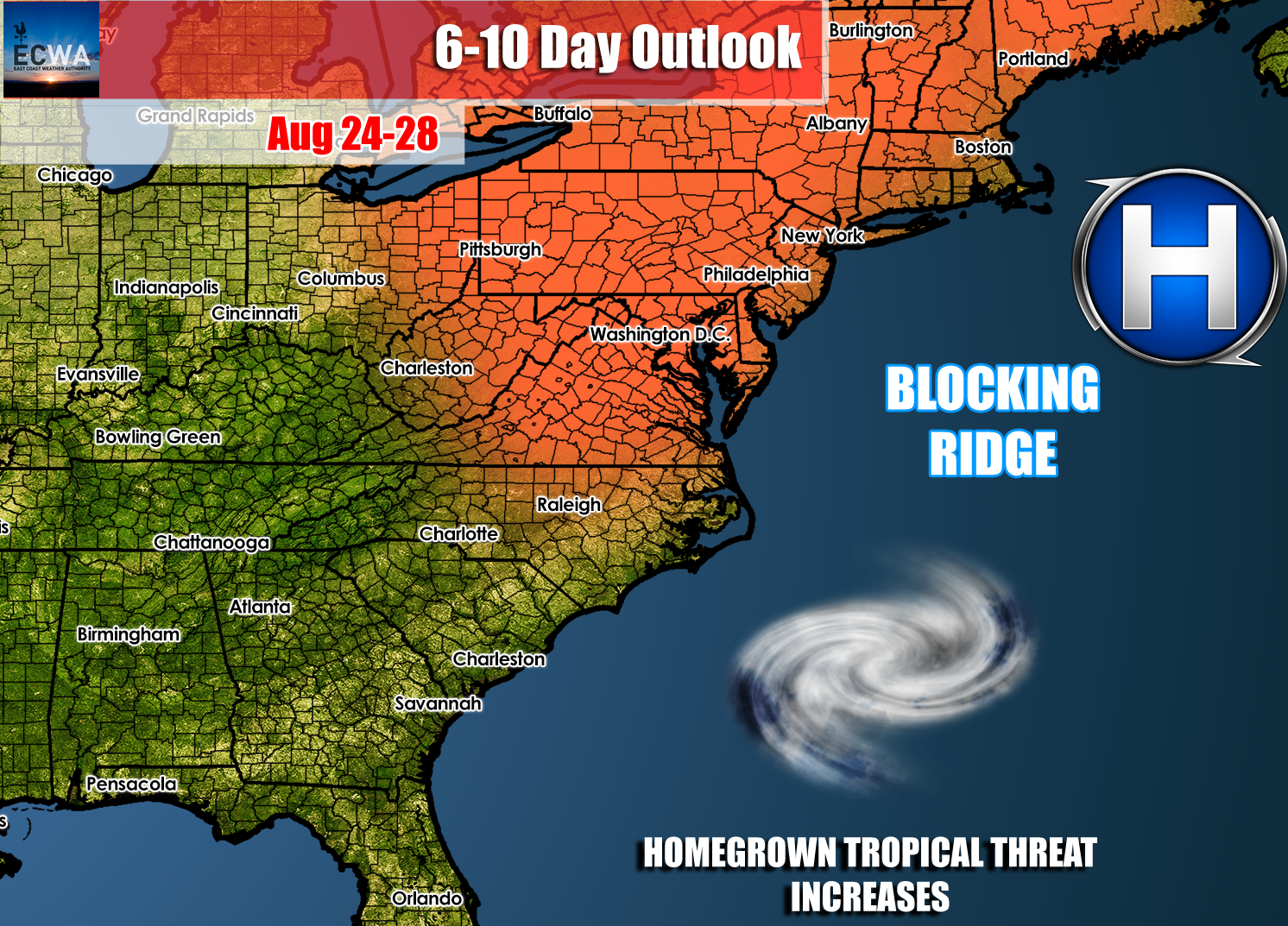
As of now, there are no active tropical threats that threaten the East Coast. This forecast only serves as a heads up that anything can form just off the coast and could strengthen slightly. When we face homegrown tropical systems, we usually see weaker storms such as tropical storms and Category 1 hurricanes, but not typically anything stronger.
All is quiet in the Atlantic basin as of now:

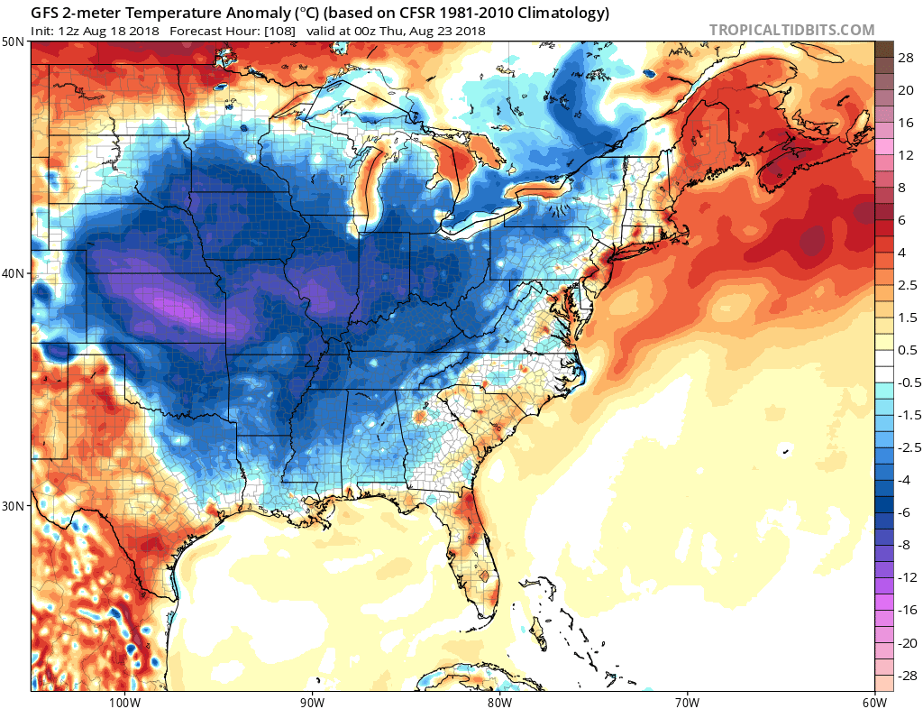
In the near future, we are looking at a cool-down as a cold front will sweep in from the northwest. The front should arrive around Wednesday of next week. As usual with strong cold fronts, we may have to watch for severe thunderstorms ahead of the front and even tornadoes.
The refreshing air will set in by Thursday of next week.
Then the pattern shifts once again and we could be dealing with a HOT end to August and start to September!
For DAILY forecast videos and discussions emailed to you, please sign up here on our site for only 5.50 a month. Currently we are serving southeast VA, NC, and SC. If you are living in these areas and want daily forecast videos and extended outlooks emailed to you, our sign up page is here >>>
You must be logged in to post a comment.