Tropical Storm Arthur made an appearance but now is a remnant of his former self and is headed well out to sea. An upper-level disturbance to our west has set in, and will continue to bring rain and yuck for at least a few more days. This pattern will have humid conditions as well as steady light rain, but heavy in spots. There is possible flooding in the NC mountains before this event is over.
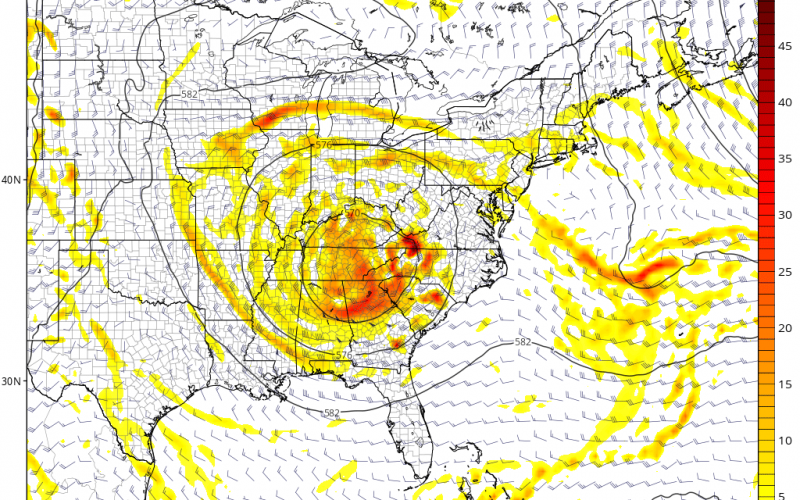
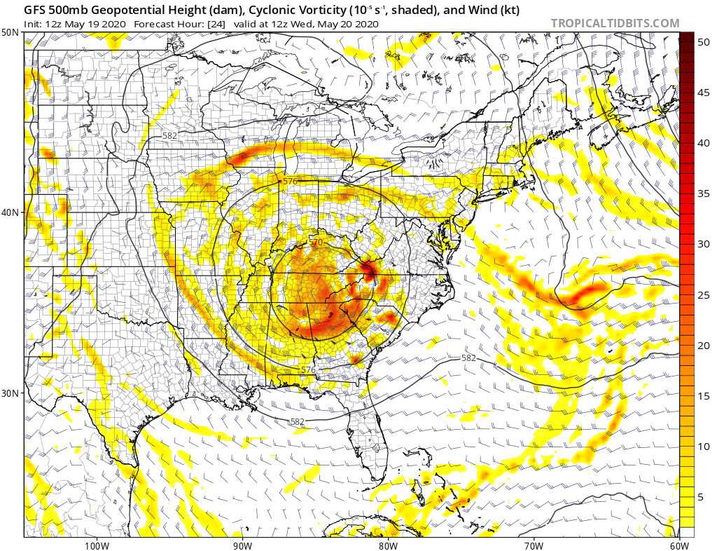
On the upper-level charts, a “cutoff low” has set in which is bringing us our cloudy and rainy conditions. However, it is welcomed since we are running a bit on the dry side.
When will this streak of rain and clouds end? It appears that there could be a bit of a reprieve from daily rain later this week, but it looks like we won’t dry up until next week at least, as well as warm up again.
As we head into early June, it looks like we will be back to a dry pattern once again, and an-upper ridge of high pressure could take over the Eastern US. But it will not be consistently dry or warm until then.
-CWA


You must be logged in to post a comment.