
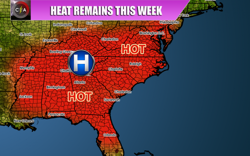
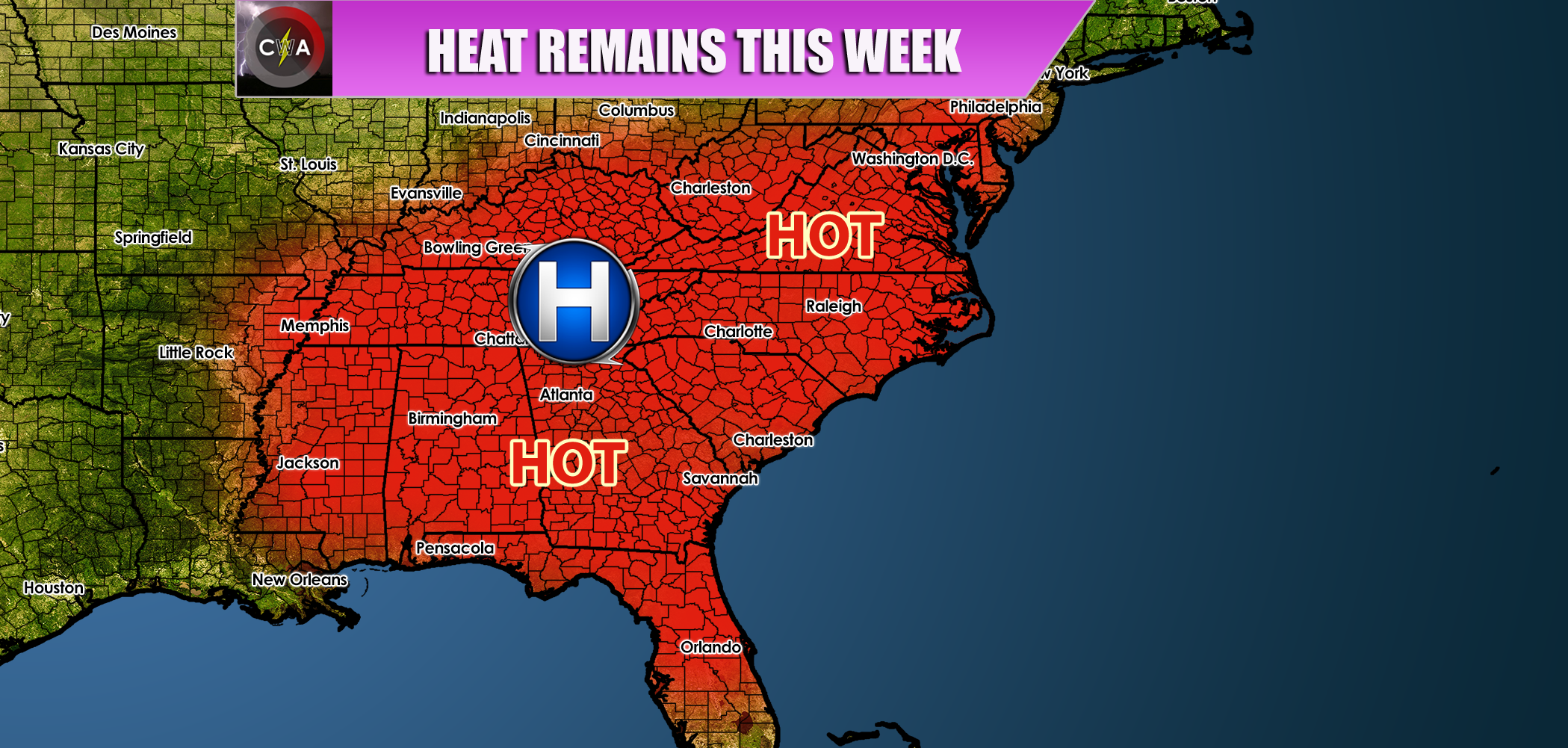
SUMMER STILL HANGS ON
A dome of high pressure will build back quickly into the Southeast this week, and the humidity will also make a re-appearance. Highs this week will be in the 90s, especially Monday and Tuesday. On late Wednesday, there could be some relief and cooler air will wedge in from the north, which will lower temperatures and humidity, but only temporarily from Thursday and into early Friday. Next weekend the heat will return once again. Don’t close those pools just yet, and if they are still open in your neighborhood, continue to take advantage of them.
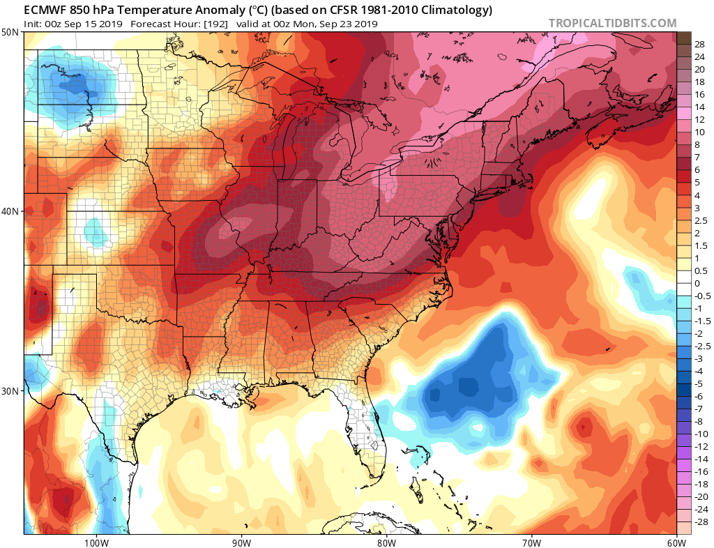
The Euro is indicating that next weekend will be hot. Highs could top out in the 90s once again as we will be heading into late September. This is certainly above average for this time of year. So if you weren’t able to go to the beach all summer, you will still be able to with perfect beach weather! The only setback with the heat will be continued high energy costs with running the A/C. The heat will scorch all the way up into Canada, so watch for this on the news!
Be sure to check out our ever-growing models page ~~~> https://carolinawxauthority.com/models
-CWA
You must be logged in to post a comment.