
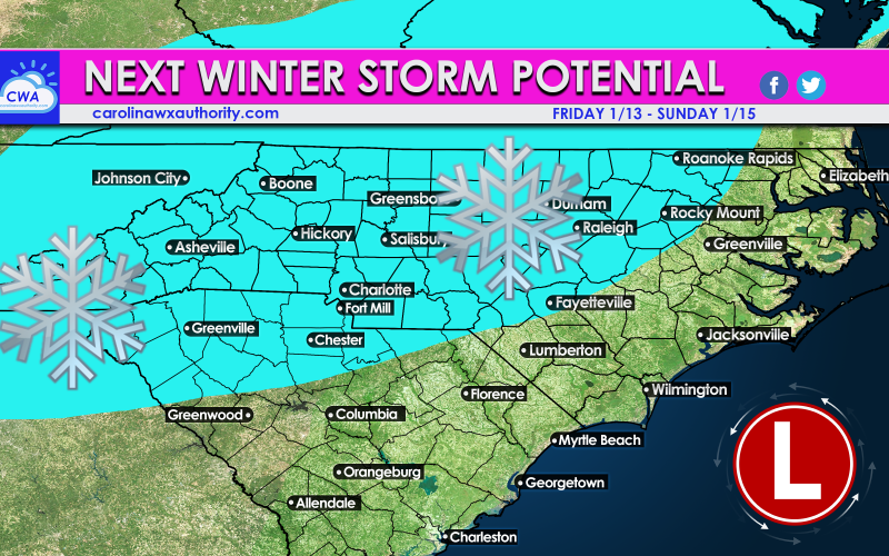
There is a lot of talk about a storm signal late next week. We originally were thinking it was too warm, but the Euro is on a consistency streak with showing wintry precip for the Carolinas. Does this mean we can expect an all-out winter storm? Maybe. It depends on specifics such as how warm it will be, and exact storm track, plus other large-scale atmospheric players.
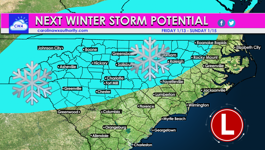
Exact totals, and precip type such as sleet, rain, or snow are not clear yet. Anyone in the light blue above has the CHANCE to see some sleet or flakes, but how much is uncertain. But the odds are increasing for some kind of wintry mix late next week, from Friday into Sunday.
The Euro Ensemble mean agrees there will be an upper low off the coast next weekend. This is in agreement with the operation Euro that also has a storm.
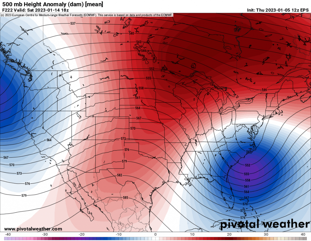
The tough forecast is determining if this will be all rain, or rain south and snow north/west, or a wintry mix. There are differences between the Euro, Canadian, and operational GFS.
But for now, this is our next chance for a storm.
Stay tuned for more here on the site and also over on our FB page. Please share!
You must be logged in to post a comment.