
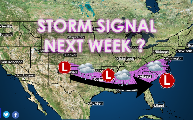
There is a lot of talk about a storm next weekend, however as we stand right now, it looks like mainly rain. It has been too warm for any kind of wintry precip. However, there could be some dynamic cooling over the mountains, or even perhaps western NC and SC where there could be some flakes.
Latest YouTube video: https://www.youtube.com/watch?v=covs2HzApmg Please like and Subscribe!
The latest GFS model only has a very small amount of frozen precip over the mountains. next weekend. To get snow in the South, we need more cold air, and a stronger indication of snow this far out.
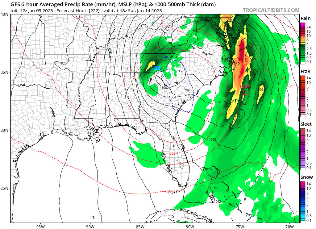
Perhaps in the center contour above, we could see some momentary flakes. As of now, this system looks to be mainly rain. The Canadian model also has all rain.
If the storm is stronger than expected, or if there is SOME cold air to work with, this forecast will change. As for now, it’s just too warm for any significant winter storm threat.
As Brad Panovich says, “I like snow but I like being right more.”
I kind of feel that.
You must be logged in to post a comment.