
ANOTHER LATE MONTH PERFECT STORM?
Temperatures have been below normal for many across the region. Cold front after cold front is the expected pattern into later this month. With these fronts come waves of low pressure that can form along the front.
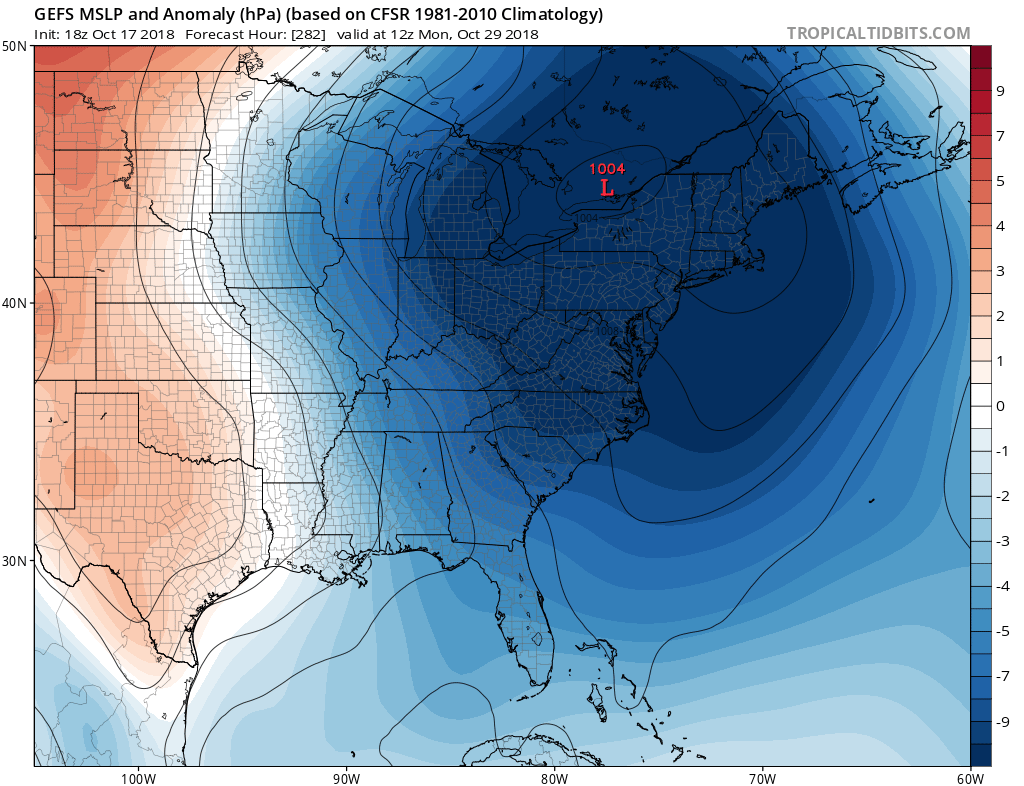
This is a possible scenario around the 29th according to the GFS:
(Click any image for larger)

The GEFS ensembles are indicating a general area of low pressure, however with a more northerly track. This would still bring fall or even winter-like chill.. However the exact storm location at this time is unknown.
Confidence of an actual coastal storm at this point is low. We will get more info into the coming weeks of October. The take-home message is it’s just something to watch at this point.
-ECWA
You must be logged in to post a comment.