
Across the South recently, most people start to sweat quickly after stepping outdoors. This is no surprise since it is July, and heatwaves are expected. But there is a bit of a reprieve from the stifling heat coming this weekend as a cold front pushes through the Carolinas on Saturday. Rain and perhaps severe thunderstorms will cool off much of the region, as the scorching sun will be hidden behind clouds
Below is the legend for the high temperatures we can expect on Sunday. On Saturday, locations such as the lowcountry and Charleston could still be hot and humid during the day since the front will not quite make it down to the area.
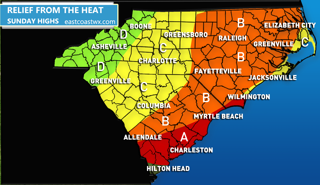
AREA A – Expect highs in the mid 80s, generally from 84-86 degrees F. Any clouds could actually keep temperatures lower.
AREA B – Expect highs in the low 80s, from 80-84 degrees F.
AREA C – Expect highs in the upper 70s (that’s right!) to low 80s, generally from 78 to 83 degrees F.
AREA D – The mountains might not even make it out of the 60s for highs, a taste of fall.
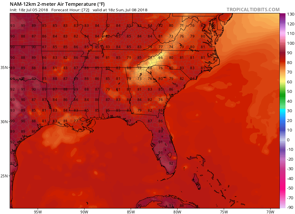
The GFS is picking up on the cooler air behind the front. Sunday’s GFS is shown below for 2pm local time on Sunday:
You must be logged in to post a comment.