
Another round of storms will move through late this afternoon and this evening across NC and SC. These storms could produce damaging winds and hail as they move southeast across the region. Residents should be aware of this threat and have a way to receive warnings should they be issued. It is not advisable to remain outdoors or on the water during a severe thunderstorm or tornado warning.
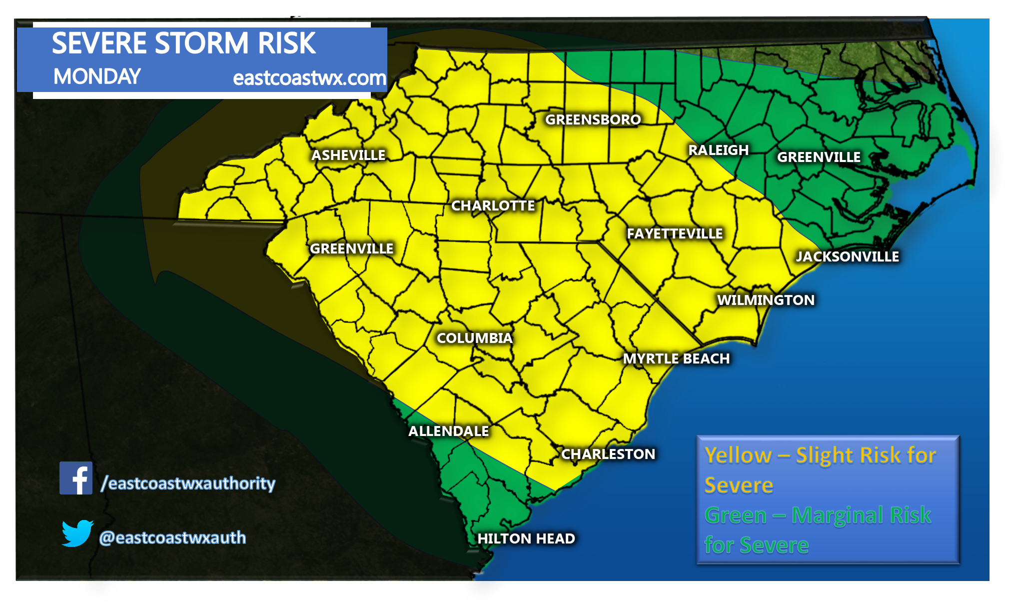
Impacts: High winds are the most likely threat with these storms. Hail is also a possibility. Flooding and tornadoes are on the low end for chances. This is mainly for Charlotte, Columbia, Wilmington, Myrtle Beach, and Charleston area. Stay weather aware this afternoon and tonight.

Please share this information using the button below to inform your family and friends!
East Coast Weather Authority
You must be logged in to post a comment.