
There are many signs that point to an above-average start to February, as a whiplash warming trend will take place later this week and this weekend. The Polar Vortex has been wreaking havoc on the Midwest and Upper Plains, however those impacts will subside as the week goes on. We could even be wearing shorts at some point this weekend, at least in the South. Maybe even in the Northeast. However, that warming trend will only be temporary.
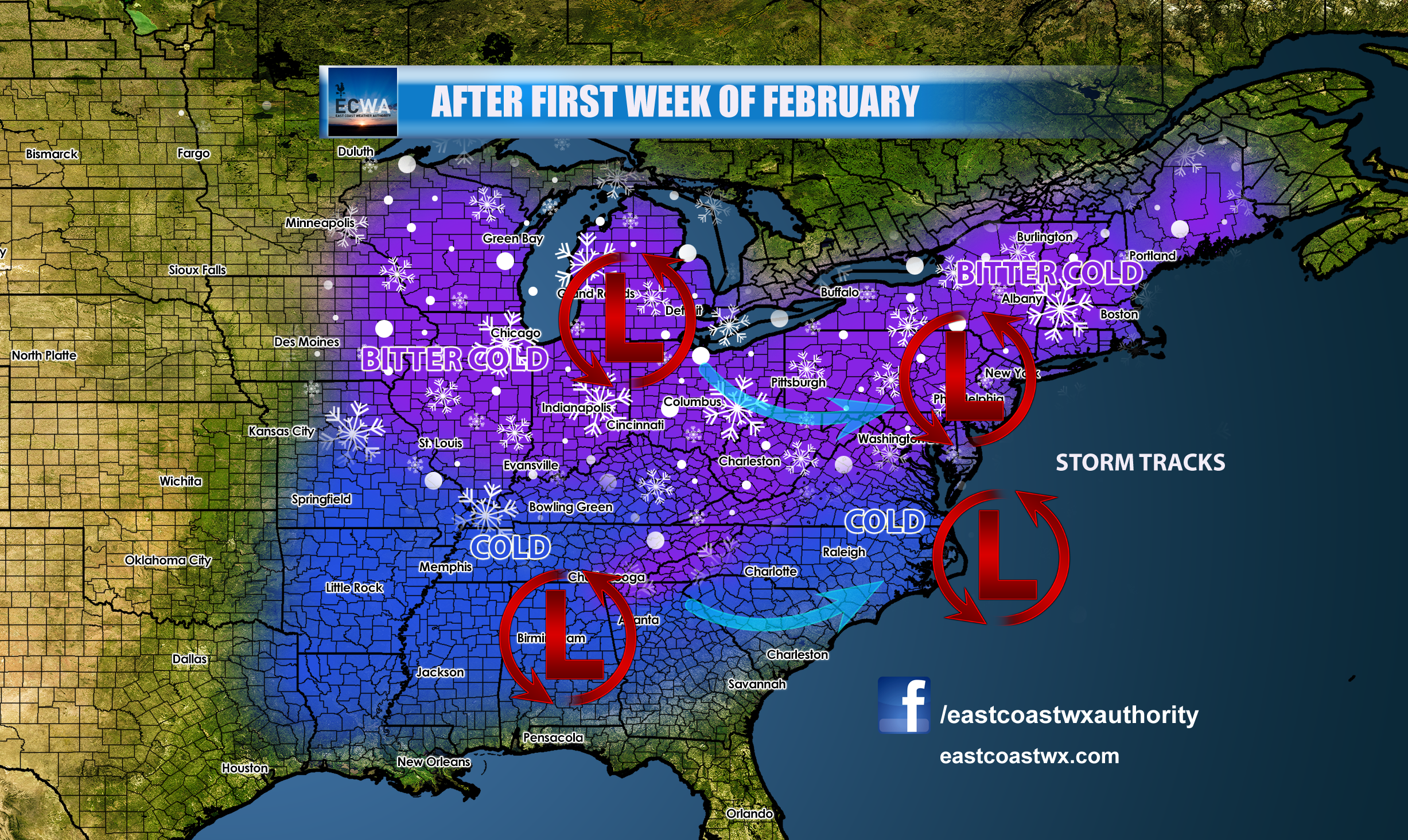
As the second week of February rolls around, storm tracks will become active once again, and this time they will have cold air to work with. In the Northeast, this means a wintry mix and snow, but in the Southeast this still could mean rain. The only exception is if we can get a low pressure to dive far enough south so that we are on the north side of the storm. Otherwise we can expect more rain with cold shots behind.
The MJO is expected to go into phase 8 which is cold for this time of year, and the NAO will be negative, and AO will be negative, and the EPO will be very negative or “tanking.” This is what we want for East Coast cold and snow! The models will respond to these teleconnection forecasts in time, so do not take them verbatim!
Please share this article using the button below!
-Mike G
Meteorologist, ECWA
You must be logged in to post a comment.