
We’ve had more rain than usual for many locations across the Southeast so far this month. On Sunday, the threat for more showers and storms across the Carolinas looms. This could have impacts on beach plans, especially along the SC coast.
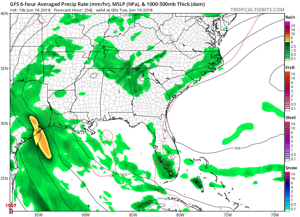
Moisture will stream up from the South and will provide moisture needed for late-day showers and storms. As the air will be juicy and humid, heat indices will begin to climb and will be uncomfortable. GFS Monday evening showing precipitation along the NC/SC coasts:
The other issue early in the week will be the building heat. The heat will be more of an issue inland, especially where the winds will be light. It will feel stuffy. Try to limit strenuous outdoor activities if you have a choice. Drink lots of water and seek shade if you must be outside. Forecast Monday highs by the GFS (likely cooler near the coast) :

Expect hot and humid conditions early next week, with a chance for showers and storms each day as the air will have enough moisture for there to be.
East Coast Weather Authority
Become a member >>> ECWA Professional Services
You must be logged in to post a comment.