
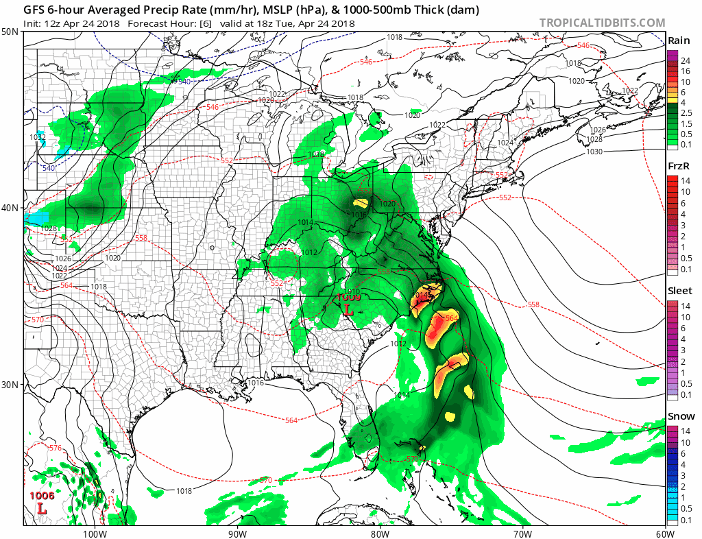
Over the past few days the Carolinas have been battered with heavy rain, and it is not over yet. Walhalla, SC has already saw over 4 inches of rain and it’s going to continue as more rain is on the way. Other places have seen flooding with the heavy downpours, the Catawba River has overflowed its banks near Drexel, NC threatening residents that live near the river.
The current storm system will not move out of the Carolinas until late Wednesday. It will then, continue moving northeast, along the coast, and bring soaking rains to portions of the Northeast and New England.
GFS MSLP and P-Type Loop From 18z THU April 24th, 2018 Until 18z THU April 26th, 2018:
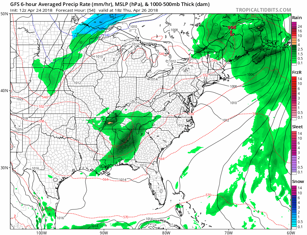
With the already drenched soil near river and stream beds, the flooding threat will continue into the weekend as the Southeast will not get a break with not one, but two systems right on the heels of this one.
GFS MSLP and P-Type Loop From 18z THU April 26th, 2018 Until 6z SUN April 29th, 2018:
With the rain continuing to fall across the East coast, some places could see upwards of 3-4 more inches through Sunday.
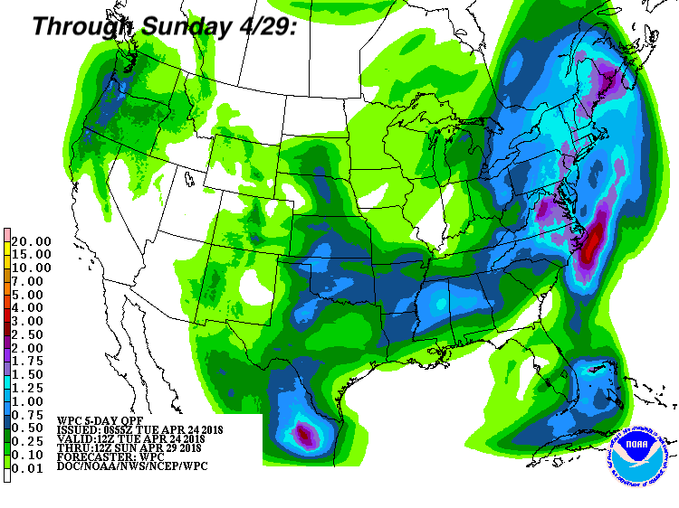 The East Coast, including the Southeast, will not see a break in the action until the beginning of next week when the pattern looks to flip and a monstrous high pressure builds allowing the entire region to dry and warm up as well. Make sure you stay here with us at East Coast Weather Authority as we keep you prepared for what mother nature has to bring.
-Alex B
You must be logged in to post a comment.