
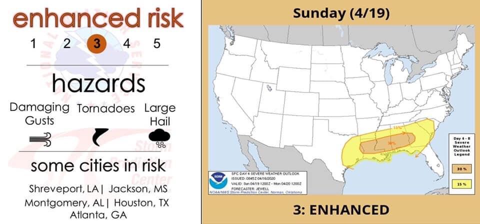
We are eyeballing yet another severe system that will track across the southern US, which could touch off a big tornado or two, however this is not expected to be an outbreak or as strong as our previous event. The dynamics needed are not as present this time as they were for our last event.
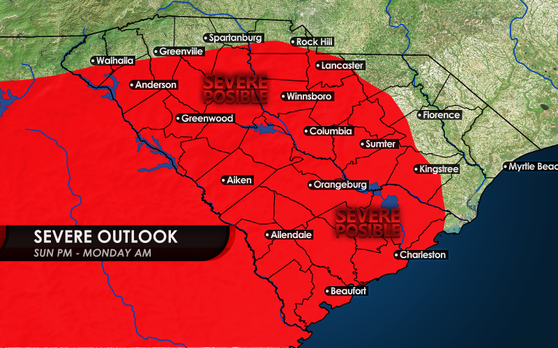
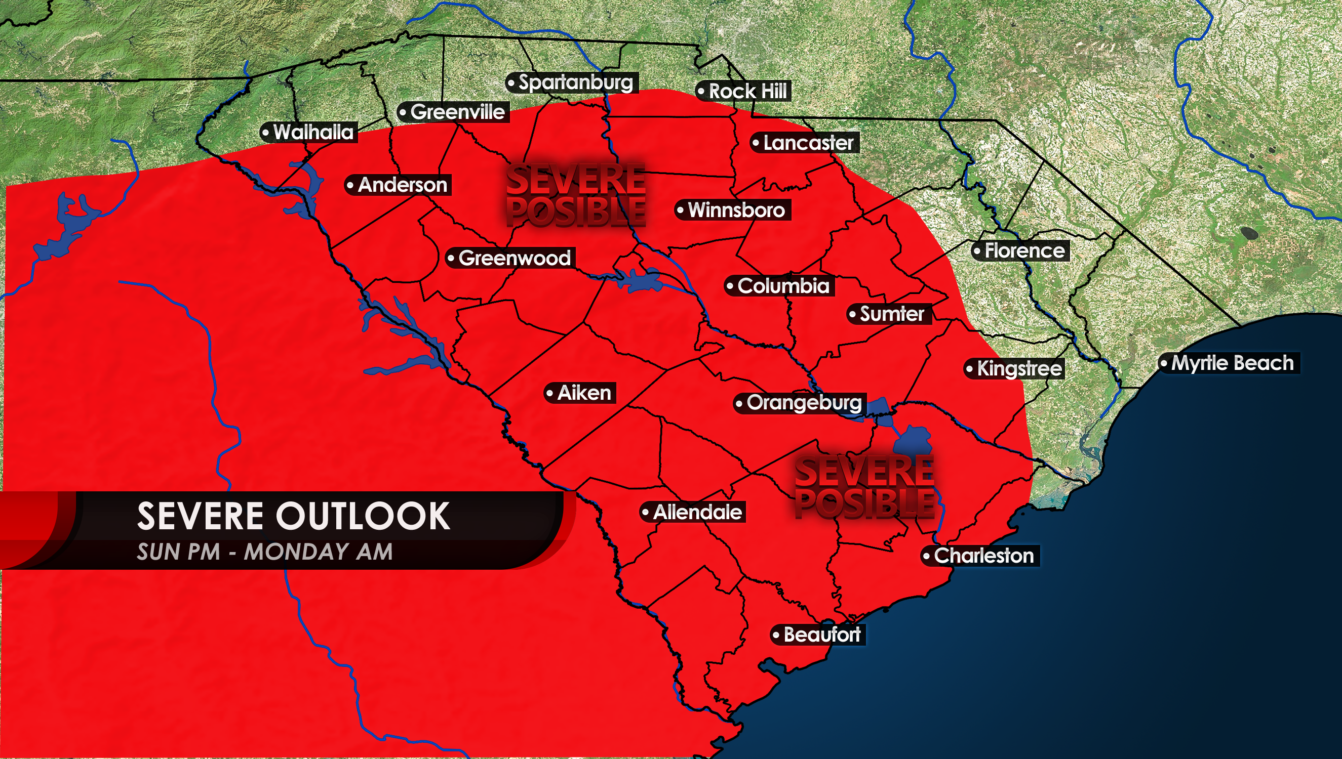
The NOAA SPC has already outlined days in advance the expected area of severe storms, which extends into South Carolina on Sunday into Monday.
Much of South Carolina including Charleston could see an increased chance for damaging storms as of now, which primarily look like damaging winds and not so much tornadoes. However, anyone along the coast could see a spin-up.
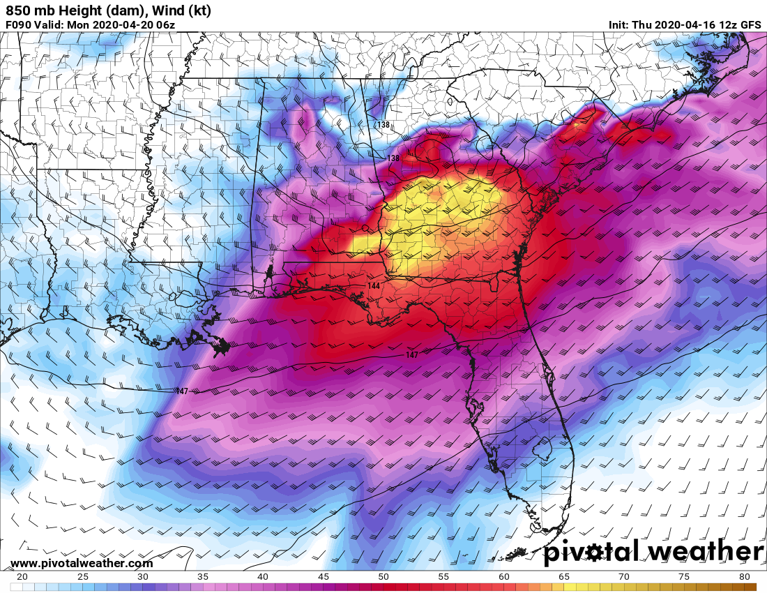
Winds at 5,000 ft above the surface will be strongest in Georgia, where most of the activity may occur. However, a few severe storms may make it to our area. The modeled winds are shown below, which is what can be mixed down to the surface to cause damaging winds.
Keep an eye out for all the latest regarding this Sunday night into Monday morning. This may have a few bad storms, or may be a non-event. Stay tuned with our page to stay updated.
-CWA
You must be logged in to post a comment.