
As Tropical Storm Ian gets his act together, the Gulf Coast of Florida is anxiously watching. Anyone that lives on the West Coat of Florida should closely watch the latest NHC and their local NWS forecasts.
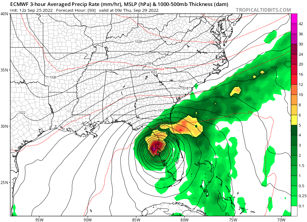
Currently, Ian is forecast to become a major hurricane this week as emerges in the Gulf. The latest run of the Euro has a close hit near Tampa, FL.
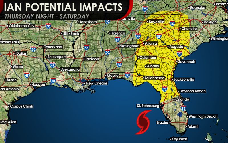
Where Ian goes after landfall is unclear. But he may move up our way, and that could cause impacts for the Carolinas. These impacts range from flooding rainfall, gusty damaging winds, power outages, and tornadoes.
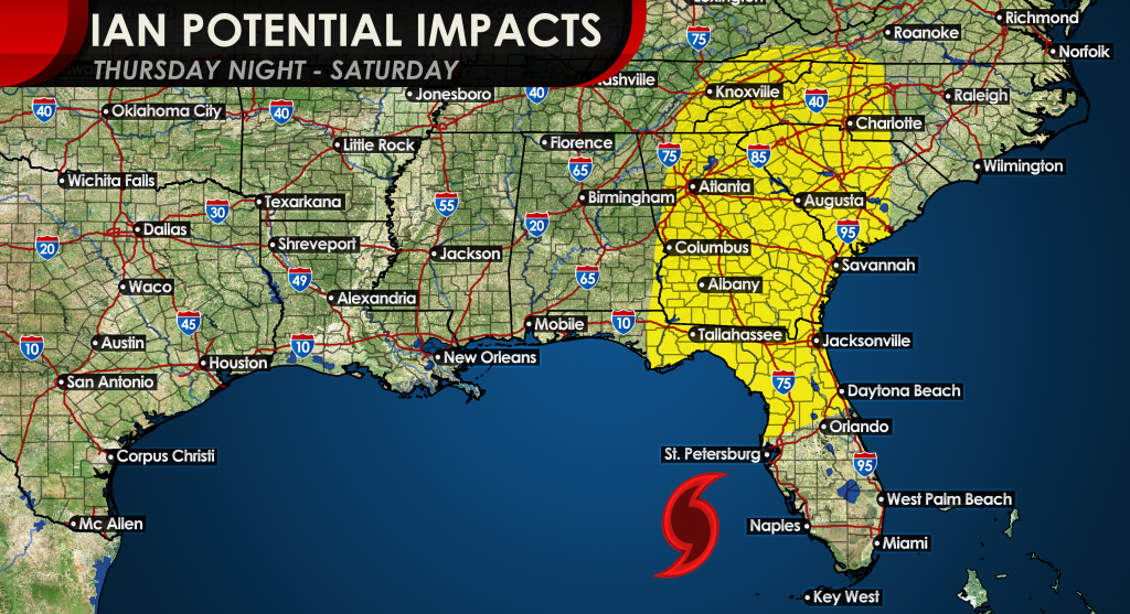
Impacts could start to be felt across our region from Thursday night into early Saturday. Ian’s forward speed will determine how bad the impacts are. A faster storm means stronger, with more damaging winds and power outages. A slower storm would mean much more rain, and thus widespread flooding.
Keep checking back here on our site for the latest articles, since some FB updates may be missed!
You must be logged in to post a comment.