
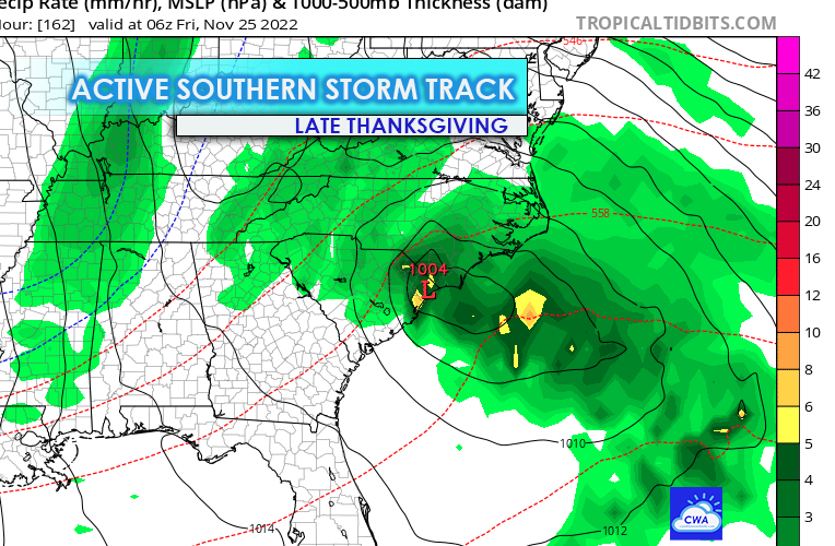
This is not a post to say it’s going to snow, but rather to illustrate a more active pattern across the Southeast in the coming weeks. It was a wet summer, and we think the southern branch of the jet stream is about to become active once again. There won’t be much cold air this time around to work with, but it’s still November.
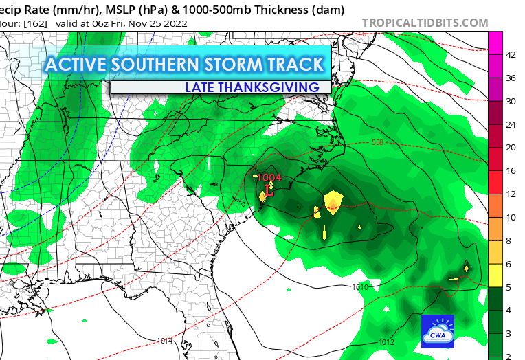
Above is the Euro showing a possible coastal system (all rain for everyone) on Thursday of next week (Thanksgiving). This could be the first in a series of southern rainmakers. Once we enter December, we are watching a piece of the Polar Vortex possibly descending into the Hudson Bay.
After that…and if it remains active…well you know what happens after that. Respond in the comments thread back on our FB if you know the answer!
-Mike
You must be logged in to post a comment.