
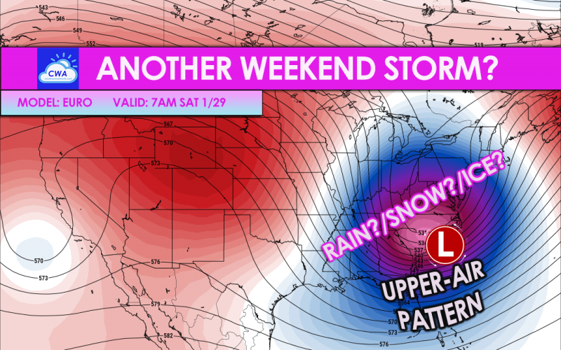
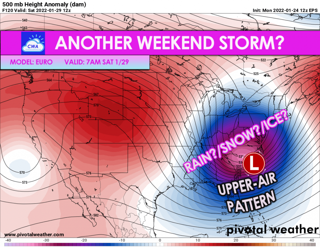
The Euro ensembles are consistent with the storm signal Friday night into Saturday. However, keep in mind at this point that this is just a storm signal, and could either be all rain, rain/snow, or ice mixed with any of these. Still too early to tell.
But the Euro does have a deep-digging system this weekend.
This will be our next chance at wintry precip before things warm up again. And the warming might get an early start, right around when this storm arrives. So we could be fighting against a lot of warm air and rain, especially at the coast, as discussed during our live FB broadcast tonight.
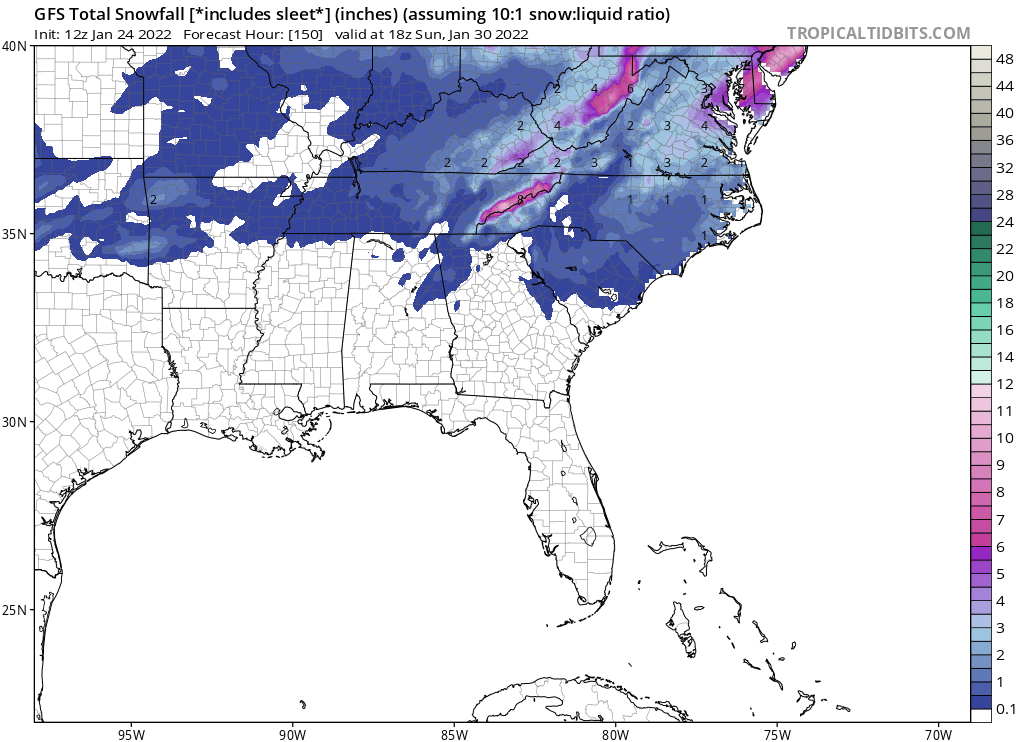
The GFS is not looking overly impressive with this next system:
In fact, one of our viewers tonight on the live broadcast mentioned her local news station was saying the cold air will be chasing the precipitation. So this could be mainly a rain event for now, and may briefly change to snow on the backside of the system as it moves away.
For those at the coast and near the water, this looks mainly like a rain event for now.
But remember, we will know more as the week progresses. It’s looking like rain, snow, or ice are all on the table for now.
Of course keep checking back here on the site for all our latest updates!
You must be logged in to post a comment.