
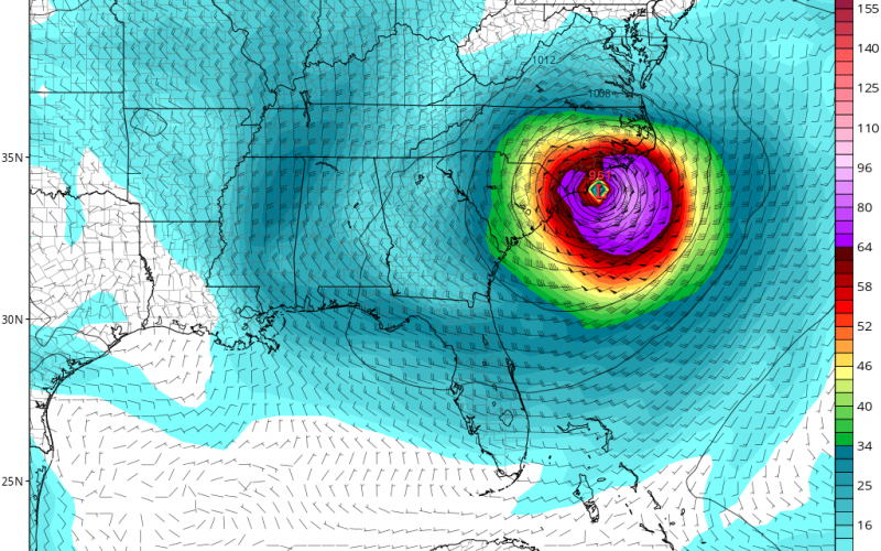
The Euro model may not have been getting the intensity of Dorian correct, however this model is noted for getting tracks correct. That being said, Dorian is expected to be just offshore from Charleston from late Thursday into Friday. Hurricane-force winds at a minimum of 74 mph can be expected with higher gusts. Below is the Euro for 8 am Thursday.
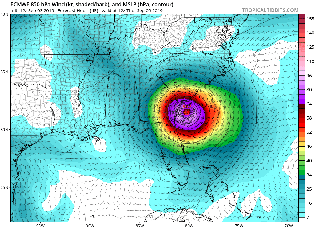
Dorian is then expected to move up the coast, and the latest trends have been west. Wilmington or the surrounding area can expect to see landfall as a Category 2 or stronger hurricane, perhaps a 3. Even a 4 is not out of the question so hopefully everyone got out.
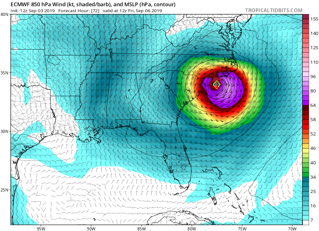
Below is the Euro for 8 am Friday.
This is a dangerous hurricane! It should NOT be taken lightly. Make any final preparations and evacuate if you were told to do so. Consult your local NWS office for official info.
-Mike Griffith
Meteorologist
CWA
You must be logged in to post a comment.