
WINTRY PRECIP CHANCES LOOM
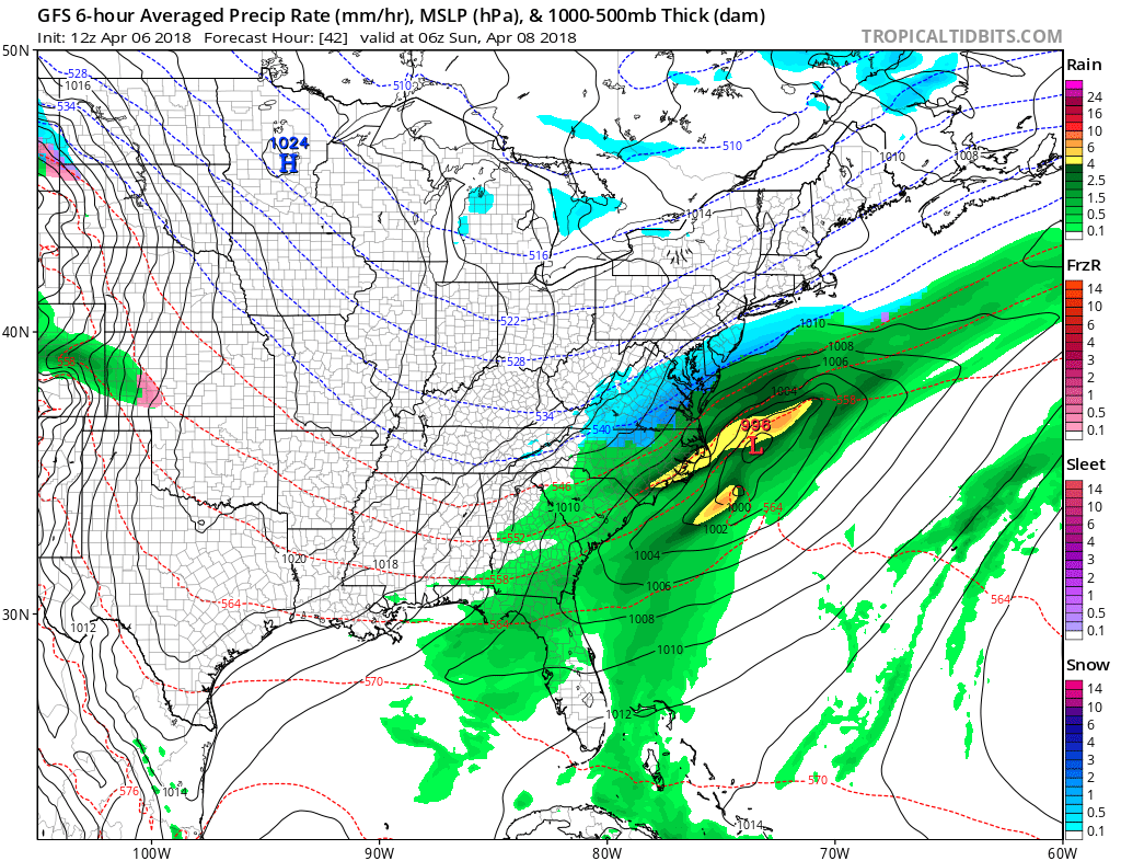
As if winter could not hold on long enough, there is yet again the potential for frozen precip falling from the sky across the East. As we head into early Saturday, much of the precip across the South will be rain. It’s only on the colder backside of this system where we can see some kind of wintry precip. DC may or may not be included in this, but we are thinking that if they are, then everyone else is also.
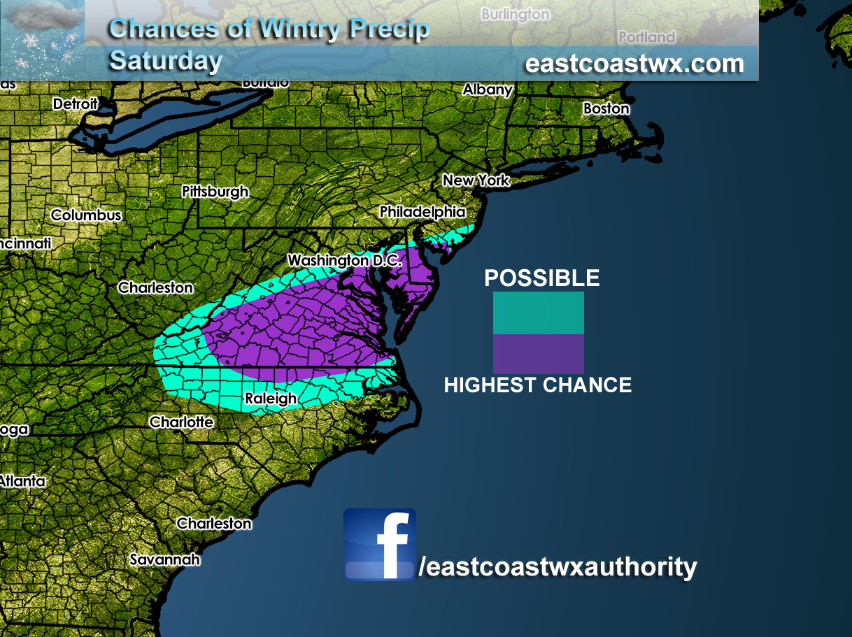
The GFS model is indicating the changeover from rain to sleet and freezing rain for much of VA. Not so much NC.
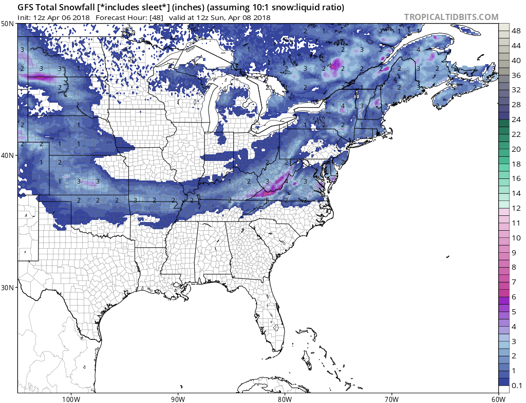
If there is some kind of wintry precip and it falls in SE VA, it will most likely just be a moment of sleet. Although snow is very possible across central VA and the Delmarva. South NJ could also be in on this. DC is now looking borderline even though we included them in our highest chance, due to uncertainty. Overall an inch or two is possible across VA where the colder air will be.
Keep it tuned right here, as more cold will move in for Sunday!
-Mike G.
You must be logged in to post a comment.