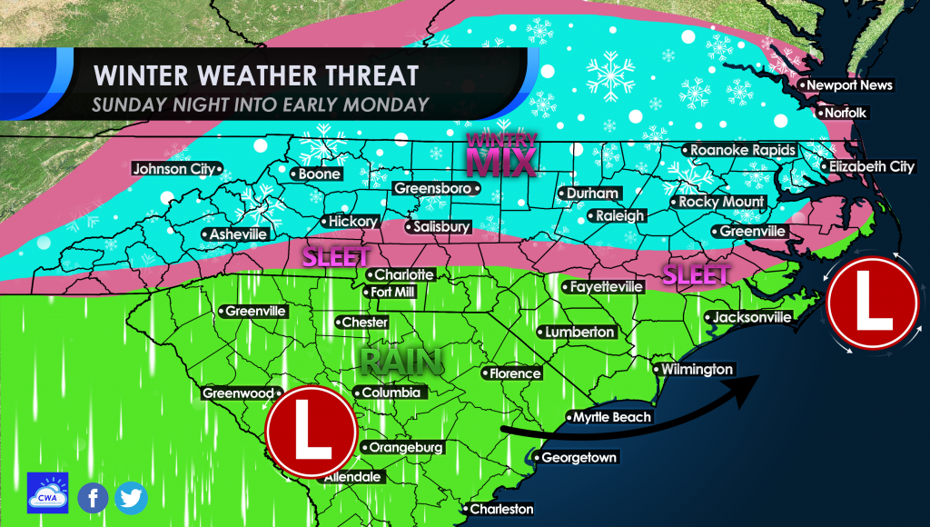
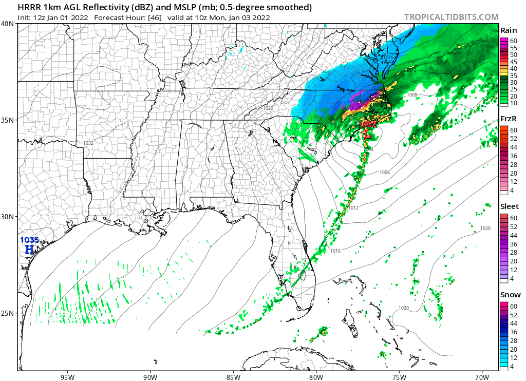
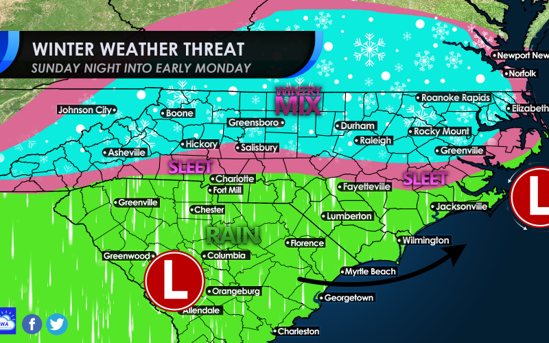
We are still tracking a winter system that could come through the Carolinas Sunday night and into early Monday. This system will start out as rain for many of us, but as the storm system moves offshore and strengthens, cold air will usher in behind. There could be a sleet/snow mix across much of NC and VA, and eastern TN late Sunday night.

By Monday morning, there could be a couple of towns with a surprise inch or so, but we are not expecting a widespread impactful event. Some workplaces may be cancelled on Monday, if the wintry precip lasts late enough into the morning. This is iffy, so plan on getting up and going to work….
By Monday morning around 5am, a snow and sleet mix could be occurring across much of NC.

However, this storm system will make it’s way offstage almost as quickly as it formed. It will get cold and windy behind this system Monday and into Monday night.
Tuesday some could be waking up to lows in the 20s! Stay warm.
More updates coming so be sure to keep checking back here on the site, and on our FB page!


You must be logged in to post a comment.