
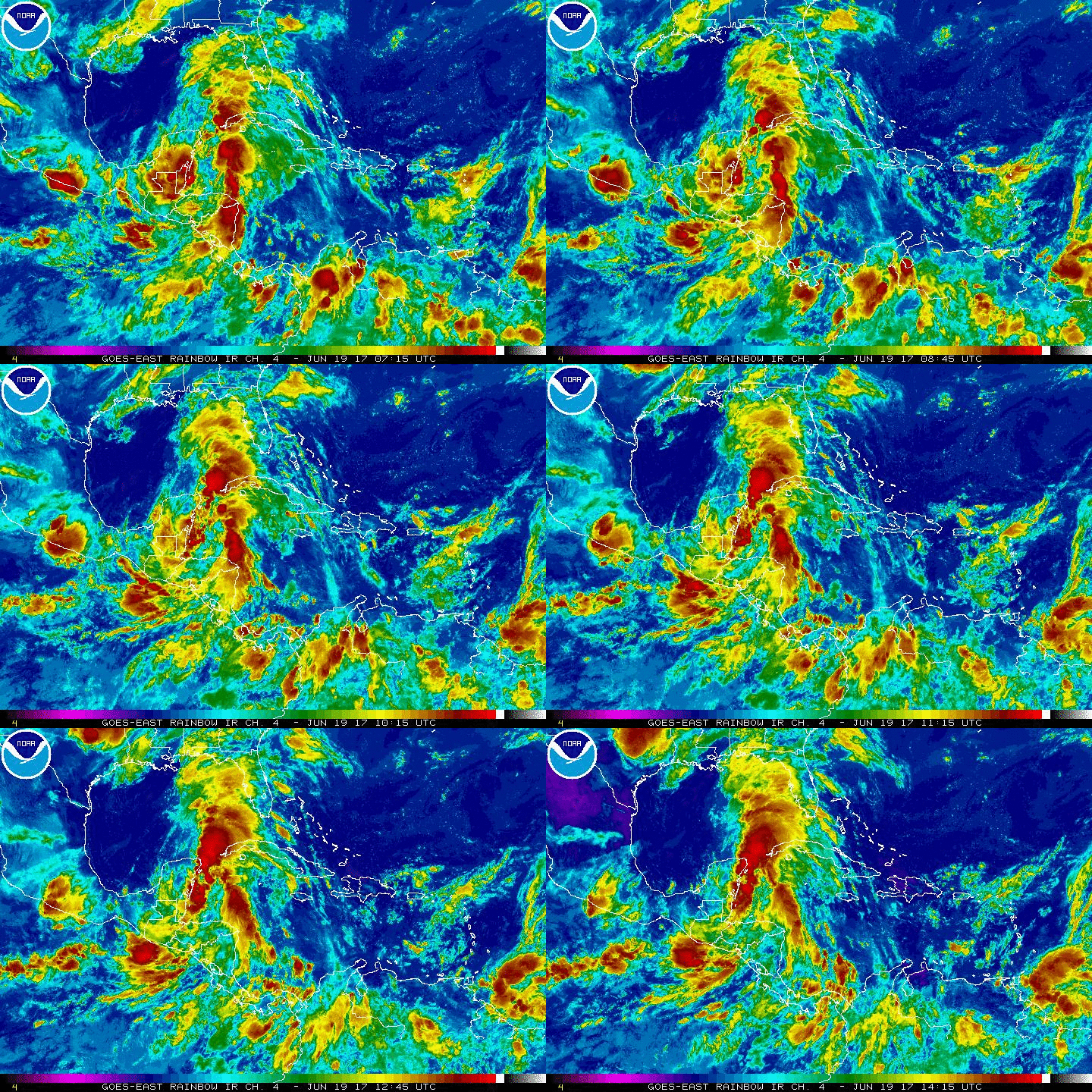
Invest 93L has been making news headlines recently. While this storm is entering the Gulf of Mexico, it is not expected to become a monsterRead More
Invest 93L has been making news headlines recently. While this storm is entering the Gulf of Mexico, it is not expected to become a monsterRead More
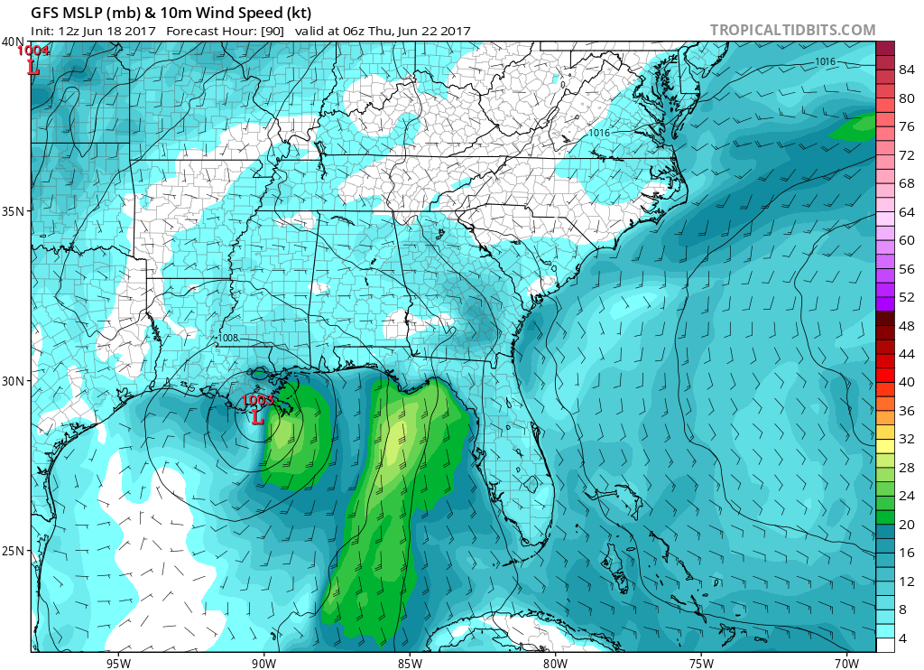
Which model will end up being right? The GFS? CMC? Euro? No one knows for sure, and this system could make landfall anywhere in theRead More

A cold front pushes through from the Midwest on Monday into the Eastern US. This front will bring very nasty storms with it, with theRead More
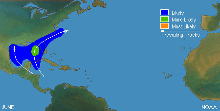
TYPICAL JUNE TROPICAL TRACKS A little bit of weather education….typical June tracks for tropical cyclones. We can use these as analogs to help us determineRead More

Previous model plumes have shown that there could be a weak to moderate El Nino for this summer, fall, and spring. However, the latest runRead More

Now that the disturbance in the South Atlantic has a status, Invest 92L, models are now available for forecasts. The GEFS guidance is listed below,Read More

I’m not worried about the disturbance in the Guld, which will likely just drift into Eastern Mexico as a tropical depression, but I’m more worriedRead More

It always seems like it’s nice during the week, sunshine, grills, pools, and then when the weekend hits everything goes downhill weather-wise. Unfortunately, that isRead More
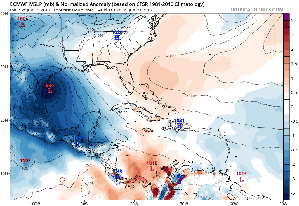
The lastet run of the Euro takes the tropical feature from the coast of the Yucatan Peninsula to the southern tip of texas. This isRead More
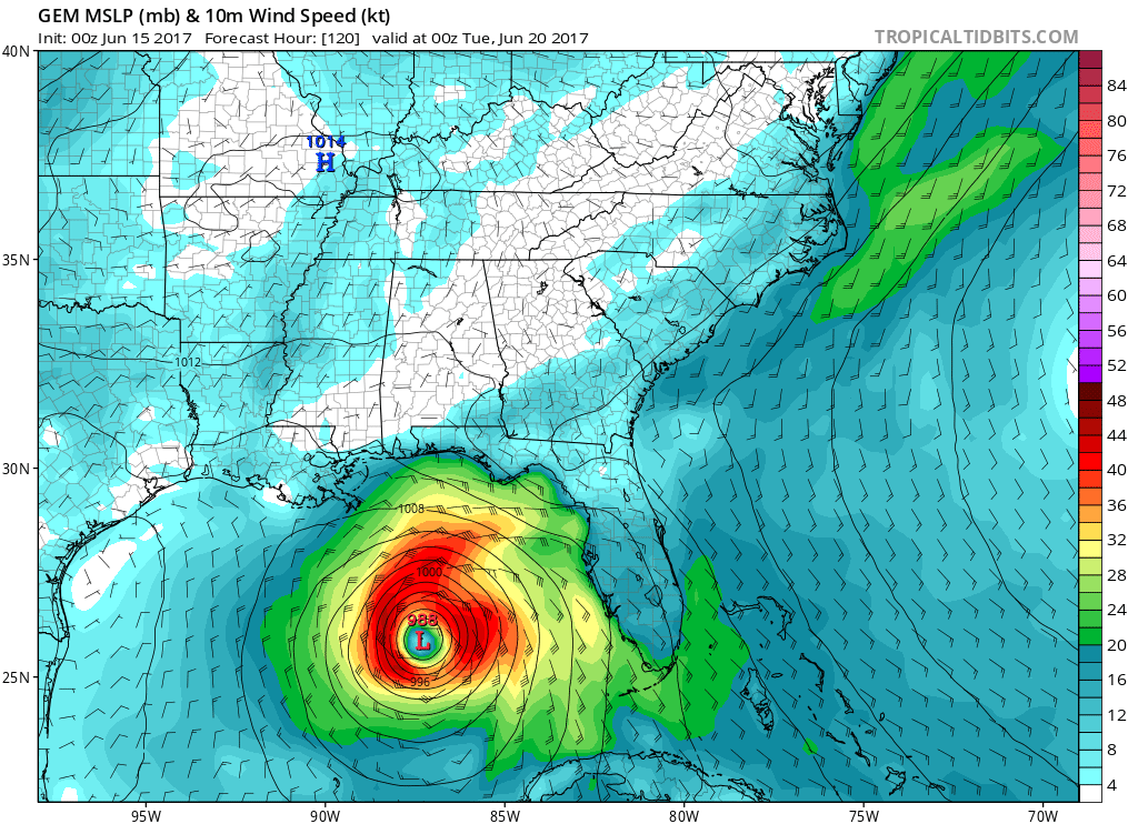
The latest talk has been about a disturbance in the Gulf of Mexico. The question is what will this disturbance turn into and which wayRead More

You must be logged in to post a comment.