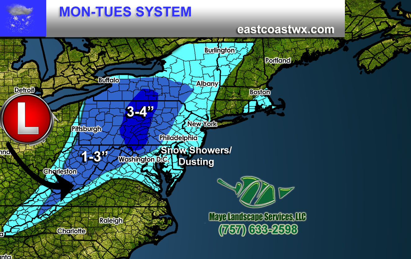
A potent upper-level disturbance will move across the Northeast and Mid-Atlantic region on Monday into Tuesday, bringing with it some light snow. The heaviest amountsRead More
A potent upper-level disturbance will move across the Northeast and Mid-Atlantic region on Monday into Tuesday, bringing with it some light snow. The heaviest amountsRead More
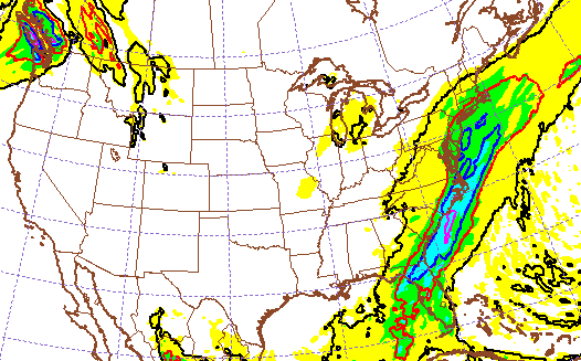
Good afternoon ECWA followers! We are tracking a frontal boundary that will bring rain overnight into areas of Philadelphia, PA, and spread into the NortheastRead More

MORE EXTREME COLD SIMILAR TO EARLY JAN ON THE WAY We have been enjoying milder temperatures over the last week or so, and will continueRead More
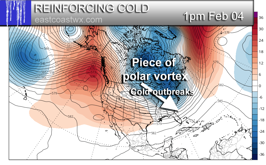
We will start seeing hints of below normal temperatures once again on or around the 30th. This will only be the initial first blast ofRead More

The first in a series of Arctic outbreaks is due to arrive around the 30th. If you remember, we discussed this back in mid-January. WellRead More
The recent warmth some may have enjoyed, however it is not here to stay. On Wednesday this week a strong storm system approaches from theRead More

COLD OUTBREAK IS STILL SET TO ARRIVE END OF MONTH The recent warmth makes one think, where did winter go? The answer is it didRead More
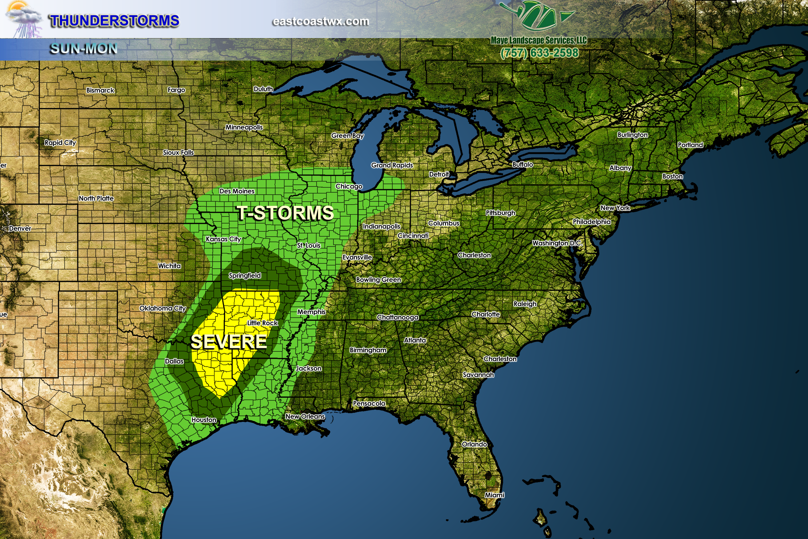
SEVERE STORMS LIKELY ACROSS THE SOUTH EARLY WEEK Thunderstorms will break out across the Southern Plains on Sunday. There could be some isolated tornadoes, howeverRead More
Enjoy the warm temperatures and sunshine while it lasts, since it will not persist for an extended amount of time. We will enjoy (for thoseRead More
Good afternoon ECWA followers! An upper level ridge and high pressure at the surface is keeping things warm for a majority of us on theRead More

You must be logged in to post a comment.