

SEVERE WEATHER EXPECTED ALONG AND EAST OF INTERSTATE 85 TUESDAY; TORNADO RISK IS ELEVATED A cold front that has been pushing east through the DeepRead More
SEVERE WEATHER EXPECTED ALONG AND EAST OF INTERSTATE 85 TUESDAY; TORNADO RISK IS ELEVATED A cold front that has been pushing east through the DeepRead More
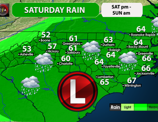
As tropical storm Nestor makes his transition to a subtropical storm across our region, rain will overspread our area today anywhere between 3 and 6Read More
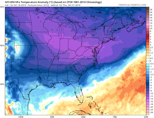
END-OF-MONTH TEMPERATURE PLUNGE As the end of the month approaches, wild swings in temperatures are likely. In fact, as chilly as it’s been, we willRead More

TROPICAL STORM NESTER LIKELY TO BRING MEASURABLE RAINFALL SATURDAY INTO SUNDAY Potential Tropical Cyclone Sixteen is expected to mature into a tropical storm over theRead More
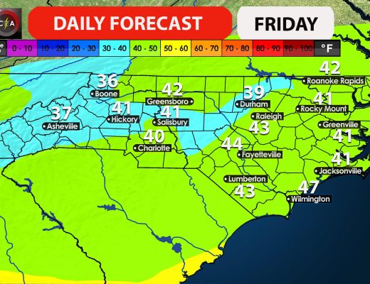
FROST ADVISORIES AND LOCALIZED FREEZE WARNINGS IN EFFECT FOR WESTERN NORTH CAROLINA Temperatures will take a considerable tumble tonight behind our departing cold front withRead More

MORE BENEFICIAL RAIN ON THE WAY The recent rains have barely made a dent in our drought, however that dent could deepen this weekend asRead More
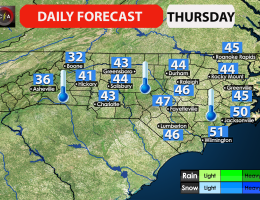
A powerful cold front swept across the region tonight, bringing blustery and colder conditions. The temperature will drop tonight as the winds will die down.Read More

FORECAST CONFIDENCE GROWING FOR UNSEASONABLE COLD TO ARRIVE BY LATER THIS MONTH It’s clearly evident that we’ve managed to shake our extended summer pattern andRead More
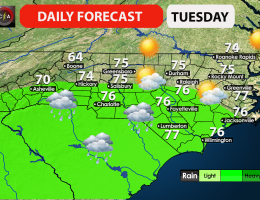
Rain will overspread the region from south to north today. South Carolina will see rain before North Carolina does, and it will start in theRead More

On Tuesday and into Wednesday this week, a major storms system will get its act together off the East Coast is it moves up intoRead More

You must be logged in to post a comment.